Drone Mapping and Site Survey Service
Fly drones over sites to produce up-to-date aerial maps and measurements for builders, farms and property owners.

- C$3k-15k
- Part-time
- Out and about
- Licence or permit needed
Estimates for a small start in Canada, not guarantees.
What it is
Capturing aerial photos with a drone, then processing them into orthomosaic maps, elevation models and volume measurements for sites such as construction projects, farms, gravel pits and large properties.
Your first three steps
- Check Transport Canada's drone pilot certificate requirements and complete the exam that matches the flying you plan to do
- Choose a mapping-capable drone and processing software, and practise on a few local sites for free or at low cost
- Approach local contractors, farms and property managers with a sample map and a clear price per site
Who pays
Contractors, developers, farmers, landowners, aggregate and landscaping businesses, and municipalities.
How it makes money
Price per site or per flight, plus fees for processed maps and reports. Repeat monitoring contracts, such as monthly site progress maps, bring steadier income.
Skills that help
- Safe drone piloting
- Photogrammetry and GIS software
- Planning flights around weather
- Clear client communication
Watch out for
- Transport Canada pilot certification and drone registration, plus rules on controlled airspace and flying near people, so check current requirements
- Aviation liability insurance, which is different from standard general liability, so confirm cover for commercial drone use
- Winter cold, snow cover, wind and rain limit flying days and affect results
- Check provincial and municipal rules on privacy and on flying over parks or public property
- Drone survey accuracy is not the same as legal survey work, so check what your provincial regulator allows you to offer
🔒 Full research report for Canada
Real cost breakdown with current prices, licences and registration checklist, local competition, pricing, break-even and a 30-day launch plan, with sources.
Coming soonQuestions people ask
How much does it cost to start a drone mapping business in Canada?
Startup costs are typically estimated at around $3,000 to $15,000, depending on your drone, processing software, insurance and training. Higher-end equipment and software will push costs toward the upper end of that range.
How much can a drone mapping service earn?
Monthly revenue is typically estimated at around $1,000 to $5,000, depending on your clients, job sizes and how often weather lets you fly. Plan on at least about 10 hours a week. Winter conditions can limit flying days.
What rules should I check before flying a drone commercially in Canada?
Things to check: Transport Canada pilot certification and drone registration, controlled airspace rules, and flying near people. Also check aviation liability insurance, provincial and municipal privacy rules, and what your provincial regulator allows you to offer as survey work.
Other ways to run this business
Similar tech services ideas

AV supply and install for offices and venues
Sell and set up displays, speakers and meeting room AV for small businesses, schools and venues.
- C$3k-15k
- Part-time
- Out and about
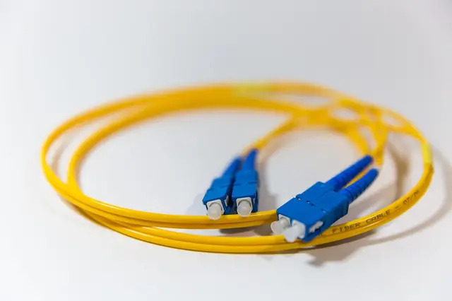
Online fibre optic supplies shop for installers
Sell fibre cable, connectors and installer tools online to network contractors, shipped from a small home stock or by your supplier.
- C$3k-15k
- Side hustle
- Online
Hybrid event and webinar tech operator
Bring cameras, mics and a laptop to run the video side of meetings and events.
- C$4k-15k
- Side hustle
- Out and about
On-site microscope servicing for schools and labs
Visit schools, colleges, clinics and labs to service and calibrate their microscopes and optical instruments on a regular schedule.
- C$3k-15k
- Part-time
- Out and about
Meeting room video kit supplier and installer
Supply and fit screens, cameras and speakers in small offices and meeting rooms.
- C$3k-15k
- Part-time
- Out and about
Drone roof inspection and site mapping
Fly drones to inspect roofs and map construction or farm sites, delivering clear images and reports.
- C$4k-15k
- Part-time
- Out and about